From beginning to end our history filled ride from Palo Alto to San Francisco was filled with fun vignettes worthy of note. We began with the humor of Tom Kabat’s pencil bike, a bike with working pencil lead, no less. It was fun watching former Palo Alto Mayor, Yorkko Kishimoto give it a short spin around the City Hall plaza as Tom coached her on how to keep the rubber side down.
After a short visit that included catching up with NBG benefactor, John E Cabrera, who is doing a lot of acting on movie sets these days, we gathered around Tom’s bike for a picture. whereupon we commissioned plaza visitor, Ann with her 10 yo son, Mateo to take the picture you see here.
Ten of us (Dwayne & Cindy, Don Loomis, Carol Brouilet of Community Currency, Barry Burr (of Barry’s Beams), Yoriko & Lee, Tom Kabat of WoodenBikes.com, Alex and myself) worked our way thorugh a downtown Palo Alto readying itself for its annual May Fete parade. On bikes, the street barricades were easy to get through. Soon we were crossing San Francisquito creek and a few hundred yards later we were on Middlefield Rd, not its normal busy self on this a Saturday morning.
We were not on Middlefield long before we turned into the quiet tree shaded neighborhood streets with big homes and big lots that a couple miles later took us into the quiet predominantly Mexican neighbourhoods that precede historic downtown Redwood City. There the traffic was almost non existent and the stoplights were few.
About ten blocks and a few key turns later, we were right next to the railroad tracks on Old County Road Directly adjacent to the Cal Train rail line, we pedaled for the next hour through a mix of homes, apartments and small businesses, many of them car related. before it ended at the now demolished Bay Meadows horse facing track. A dead end for cars, it still offers bike passage on a path that is cracked and has weeds growing through it. This as the once exciting home to four-legged racers has become a construction eyesore soon to be filled with one thing the SF Bay Area needs less of – houses and car filled streets.
Crossing the tracks that had been to our left for a good number of miles at the San Mateo fairgrounds we were soon on Palm Street headed for the 16-acre horticultural showcase it ends at called Central Park, complete with a Japanese Tea Garden. Taking a break in the beautiful grounds there as we waited for Jeff Kistler to join us, Lee Collins noticed the tread on his back tire had become threadbare. He hadn’t thought to inspect it after his Dumbarton Bridge crossing. And it was ready to blow

It hadn’t been long before that I had been telling him that a lot of the Irish roads were like the Dumbarton approach from the Fremont side. I had held that rough road out as an example of why Ireland had so roughed up four of my bikes, including the Eagle when he got his own taste of what I have been experiencing for the last two years.
A pleasant hour and yet $55 for Lee later, we were back on the road to SF. After we easily and quickly worked our way across downtown San Mateo, the gently rolling hills of Burlingame and Milbrae followed before we reached San Bruno, our lunch stop
In getting to it It was just after the Milbrae BART/Cal Train station that our route required us to be on El Camino Real for about a mile. Anxious to get off it, even though it was lightly traveled at this point, I turned too soon as we quickly came upon a cool little Bike/Ped crossing of the railroad tracks that once again became our constant companion. So cool, in fact, that Yoriko seemed happily surprised when she said, “I don’t remember going this way last time”. To which I replied, “neither do I”. We both laughed as this added to the sense of serendipity that soon began to prevail.
Nor was I too worried as i could see the homes of the neighborhood we needed to in. We made a giant U-turn, while avoiding El Camino, and were on our way through the gently rolling neighborhood streets of Milbrae.
I was pleasantly reminded how well the Rideable Replica (RBR) HiWheel i was borrowing from the company made easy work of the gentle climbing we were now rolling through. Hills, more notably the long ones like in the Sierras, were the reason I now rode the Eagle which I had left behind in Ireland. And yet the RBR Excelsior model i was riding almost made we wish I was back on a conventional HiWheel again.
Tho the Eagle also allows me to make full use of each pedal stroke and I am not pedaling the same wheel I am steering, I cannot do track stands or ride it with no hands. Both of these were skills that I was finding I needed now but that had grown rusty with disuse. Instead I found myself getting on and off of the RBR a lot when I could have deployed a controlled stall which is a lot easier to do on a conventional Hiwheel like the RBR than on the Eagle.
It needs to be noted that by the end of our ride, I would miss the comfort of the Eagle. This is because my arms are not fried from pushing against my legs when I am on it. While the conventional HiWheel cyclist learns to only pedal in a downward motion, when sudden speed or other manoeuvres are required, such a bike can’t help but require the arms get very involved.
Still on our way to our lunch stop, for block after block we rode for a stretch past homes, each of a unique 1930’s construction, packed tightly next to each other. Instead of railroad tracks, they looked out on a wall of towering eucalyptus trees With little or no front yards, one house really caught my attention. The shape of a toaster, it must have been eight-feet wide by ten-feet long.
It wasnt long before we arrived at our annual lunch stop, the Paloma Cafe in the town of San Bruno. Located at the northern edge of an interesting looking business district not far from the train station built in 1860, in an unused planter area in front we parked all eleven of our bikes.

The Mexican food was delicious as I also enjoyed my ceremonial glass of fresh squeezed carrot juice. At a reasonable cost of $3.25, the huge margarita glass it filled was always worth the 28 miles we had ridden to get to it! With only eleven miles to go, we took our time and were there for an hour before we left.
South San Francisco was next. As we worked our way along its edges, ahead of us, the hillside sign that reads “South San Francisco the Industrial City” grew closer and closer. Erected in 1891, made permanent with concrete in 1929. and now registered in the National Register of Historic Places, it came about when this city bustled with early 20th century industry. Meat-packing businesses, iron and steel plants, a smelter for precious metals, heavy equipment manufacturers, paint factories, and food-packers worked so hard, that in the 1920’s it was known as the smokestack city of the peninsula.
Now a city of 64,000, South San Francisco’s has a new identity. It is known as as “the birthplace of biotechnology”. Led by Genentech which opened in 1976, and now employs 8600 people, one wonders when it’s famous sign will be changed to read: South San Francisco the Bio Tech Industrial city”
None of this was visible to us as we moved through large cyclone enclosed dusty lots, many filled with equipment and vehicles. Off in the distance to our left was another South San Francisco landmark. The imposing quonset hut shaped Cow Palace dominated that part of the skyline. Skirting South San Francisco’s downtown, we headed toward the Bay and Oyster Point, crossing over the busy 101 freeway on a lightly used overpass to get there
The scenery changed as wide boulevards brought us to the new South San Francisco, the bayside office park that looked like a sprawling college campus where South San Francisco’s bio tech firms did their business. Turning before we moved deeper into it, soon we were on a beautiful path at the edge of the waters of the San Francisco Bay. Along it, we passed by a handful of nice several story hotels and then the half a dozen buildings that are probably part of the the huge empire that Genentech dominates this side of the freeway with .

As we continued to skim South San Francisco , we only skirted the edge of Oyster Point which, as the name implies. is a small peninsula that juts into the bay. A business park filled with office buildings and wide streets, right next to San Francisco International Airport, it had seemed like an impasse on on our route to San Francisco in 2003 when I first scouted this route.
And yet now we’ve reached a point where we might even be able to expand this ride next year. There’s now a ferry that runs from the Oyster Point Marina to Jack Londln Square. Maybe we can meet a group of Mary Ann Blackwell’s East Bay based Bay Area Easy Riders who might want to join us as we complete our ride to San Francisco? Hmm….
Before we reached the San Francisco city limits we had to pass through one more city. No, South San Francisco is not part of San Francisco Nor is it even connected to it To reach the Golden Gate city, we had to cross the freeway again. This time under it on to Sierra Pt Pkway, as we entered Brisbane. And as we moved through what felt like No Man’s land, there were no signs of a city anywhere to be found. Just a desolate lagoon separated from the 101 freeway by the road upon which we were riding.
Back in the 1920’s this was a marshy part of the Bay that had been filled so the Bayshore Highway that preceded 101 built in the 1960’s could bypass Brisbane. Plans are now on the books to turn this area, which looks out on far away Candlestick Park, into an attractive water recreation area.
In my research I’ve come to discover that the Baylands Specific Plan part of Brisbane’s General Plan calls for planting wind break trees out where we met Along with a trail around the lagoon, a non motorised boat launch on it, even a nature/community centre.
Looks like Sierra Point Pkwy will also be beautified as a part of this plan as it also fits into the Bay Trail !
It was when we made a left away from 101 on Lagoon Rd and started heading toward a canyon filled with homes, that Alex lost his chain. As all eleven of us were stopped debating whether we could tow Alex with our bikes, a car stopped to see if we needed help. And as luck would have it, it was not just any car. It was the former mayor of Brisbane and bike proponent, Michael Barnes!

A fellow TransAmerica cycling vet (in 1978 he soloed from Boston to Palo Alto well before cyclists did such a thing, much less by themselves), which explains why he stopped to help, Michael started the Brisbane Bike/Ped advisory committee. The main reason he got such an organization going was so that his city could qualify for the million dollars it cost for the bike lanes on Bayshore Blvd, across Brisbane from the San Francisco border to the South San Francisco border.

Unfortunately we did not get to experience the Bayshore bike lanes until we were out of Brisbane because of the way we entered this small city of 4000 people. By the time we reached them, we were in SF and the only major hill we would hit as it soon crossed over 101. Upon crossing the freeway, Bayshore became 3rd St and we rolled its pleasant, relatively new bike lane into town at ATT Park, home of the Sam Francisco Giants baseball team.

Since the CalTrain station was almost across the street, we decided to make it the end of our ride. Because the following day would be the San Francisco Bicycle Ballet’s first annual NBG Tour de SF, we were content to let Carla Laser and her crew show us SF the way the locals see it. That report soon. Until then, we hope you enjoyed our ride up the SF Peninsula.


Great ride and people and thanks for organizing this. Don Loomis (Don’s photo album).
Thank you Martin for leading us – it’d be great to re-create that map on google maps for others to follow. I think it’s a classic! Yoriko
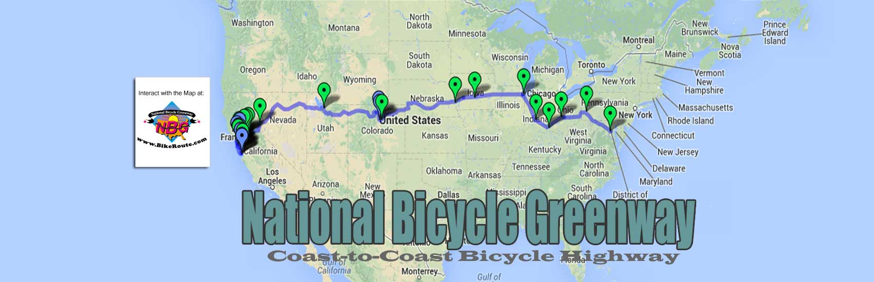
Here it is – the route!
View Palo Alto to San Francisco Bike Route in a larger map
You must be logged in to post a comment.