Our San Jose/San Francisco to Washington, DC map leaves Folsom tomorrow on our way to Reno. With the Bay Area complete, along with the bike route all the way to Davis and Sacramento , we just finished the American River Parkway, Sacramento State Capitol to Folsom City Hall, passage per the below:
View Sacramento State Capitol to Folsom City Hall in a larger map
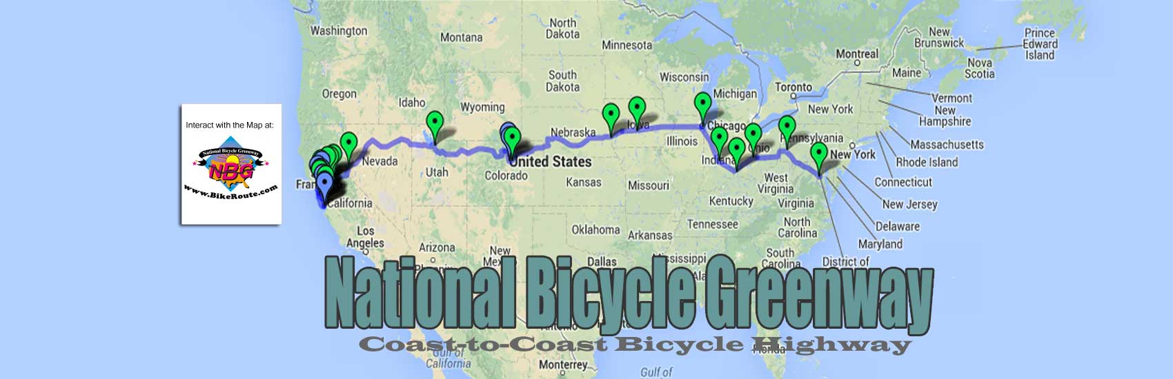
The National Bicycle Greenway has been doing the above ride since 2002. Once you get to our Google on-line map, not only do we show you what parts of the trail to ride, but we show how to get you and your bike to it from the San Francisco Bay area by train. And how to get you and your bike from Folsom back to the Capitol by light rail no matter where you came from to get to the start.
HERE is the Audio – Visual Podcast you will also find at out map. Along with the following excerpt from “How American Can Bike and Grow Rich, the NBG Manifesto”
And it was easy to understand why. A true bicycle heaven indeed, we all looked forward to riding the American River Parkway. Perfectly smooth asphalt, it offered the ultimate two-wheel escape. Tomorrow we would all be on a path that felt miles from nowhere even though busy freeways and the life of small cities lay just beyond the river bluffs. We would look out on a peaceful summer-time river that gently poured over the rocky bottom it often exposed.
Along the way, we would ride through a few tree shaded, lawn covered parks, cross the American River on an historic metal bridge and be entertained by all the people frolicking in the many different swimming holes along the way. As the trail neared the base of the Sierras we would find ourselves passing through miles after mile of untouched open space where even the occasional tell tale sign of human life, such as a far away building or road, almost as instantly disappeared from sight.