Seems the year I took away from the Mayors’ Ride front lines to develop an on-line mapping platform that would build a virtual National Bicycle Greenway was not all lost. It feels like yesterday when in 2007 Google kabashed a vision I’d given a lot of life force to by adding bike routing to their maps. While what my small team and I had developed functioned like a game, built community and could still, even today, generate a very large amount of revenue, on many levels, the Google roll out knocked the wind out of our sails. Potential investors began to cool to our offering, saying they wanted to see how Google’s bike mapping would all pan out..
But I did come away with a lot of knowledge. Lots. From how start ups merchandise their offering to the angle investor marketplace to what the Sand Hill venture capitalists need to see, and etc, I learned a ton about how the Silicon Valley keeps pumping out all the Googles and PayPals and Yahoos of this modern day internet world.
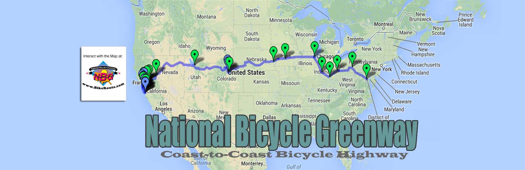
I also became very competent at working with Google mapping since that was the program our API relied upon. As such, I am still able to easily and confidently plot maps using their interface. Here over the weekend, for example, I was able to embed the June 21 Tour of Castlebar that I will be leading on the Eagle into our 2014 International Mayors’ Ride schedule/scorecard – do get a look! There you will see many of places we will be visiting, one, in fact that goes all the way back to the year, 1739.

And indeed Castlebar deserves such attention. Even tough only 12,000 people live here, Castlebar is by far the largest town in County Mayo, a large county the size of Alameda County in California back home. As the county seat and a regional center of commerce , it also soon figures to be the epicenter for the top Greenway system in all of Europe, the Great Western Greenway.
Car roads that service the Greenway are being improved all over the town. This as new greenways that run to through and from Castlebar are being built everywhere.


Tho I have only been in Castlebar for a little over three years, I can say I know it better than most because I see 10 to 20 miles of it, and its back roads, almost every day. At 10-20 mph. Usually 8-feet up on the Eagle. Or low down on my S&B Recumbent where, instead of looking down at the road, I enjoy stereo scenery. Not to mention that when I am off the bike, I ask questions. And also research what I’ve seen on the Internet.
Back when I lived in Santa Cruz, CA, 15 years ago I created this virtual tour of that ocean side city that is still much accessed today. This is still popular because I saw more of Santa Cruz than most, including most bicyclists. I did so on any one of the several recumbents or trikes I owned (HERE is the page I still maintain that celebrates these awesome machines that have been banned from racing since 1934) because in the early 90′s I was a big part of the promotion that re-birthed the modern day recumbent industry. The recumbent bike is also what I used to really see, smell and hear the USA on my 1986 bike ride across America. . ..
Getting back to our International Mayors’ Ride, if you get to our 2014 schedule/scorecard, you will also see that I loaded the Palo Alto to San Francisco ride that we will be doing Saturday July 19. The only thing that slowed me down about getting the below map embedded into our schedule/scorecard this weekend was reformatting the web page.

It was also for this reason that the maps for the June 22 Tour of Dublin and the July 26 Sacramento to Folsom American River Parkway run did not get embedded this weekend and will hopefully be on line before May bike month begins..
Too much excitement!
THX 4 all of U!!
You must be logged in to post a comment.