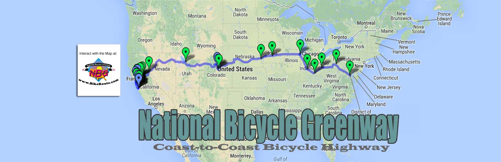
We’d like beautify the San Francisco to Washington, DC bike route map web programming wizard, Lori Yung, is using at BikeRoute.com, but she needs the art to work from. What you see there is a standard map of the USA that she made interactive with what we have on line at Google. Surely there is a graphic artist out there who would like to place their signature on the National Bicycle Greenway.
Toward that end we need:
1) A stylized map of the USA that not only shows our 18 NBG Biking cities but where the top greenways and infrastructure we will be using already exist. We need to be able to show:
– the US 30 bike lane that runs the width of Nebraska.
– the Loneliest Hwy across Nevada
– the 35 mile Jordan creek pkwy in SLC
– the American River Pkwy
– the beautiful Kerry bike/ped bridge that connects Omaha to Iowa
– the 400 mile Allegheny & C&O trail that connects Pittsburgh to Washington, DC
– Trailridge, the highest highway in the world, thru Rocky Mtn Nat Park.
– the Henepin Canal path near Chicago
2) a stylized map of our California Biking Cities of Santa Cruz | SanJose | Palo Alto | San Francisco | Oakland | Sacramento to replace

the existing text only pop out for our California cities.
3) A stylized map we can run at our NBG Biking cities <link>. We coukd use a smaller version of what Lori has at BikeRoute.com, but th e city names need to be added at the anchor positions and Lori’’s work is not scaleable.
If you can help reply at Hiwheel@BikeRoute.com
You must be logged in to post a comment.