Virtual Tours

NBG
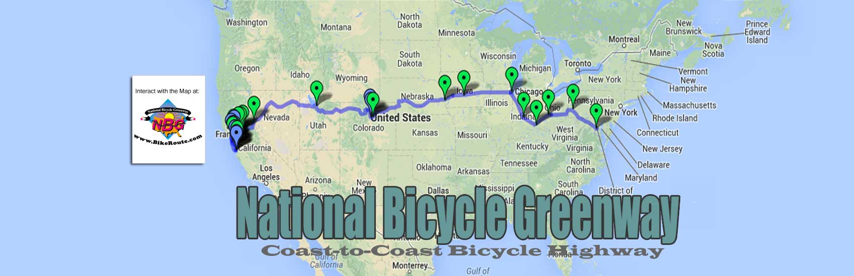
As templates for what will become Downtown Greenways in all 19 of our other NBG Anchor Cities, our Virtual Tours will have a simple, cost effective beginning. In order to lay them in place, we will match the popular places people go on a bicycle to eat, sleep, shop, play, and sightsee with the best way to pedal across our cities. While the endpoints of this travel way will connect to our route across the nation, in the cities themselves, often this will involve connecting business districts to one another.
Since most neighborhoods have little pockets of business establishments frequented by their local cyclists, in essence what we will be doing is connecting neighborhoods to one another. To connect them, we will will make use of existing bicycle infrastructure. While these connections are being made, our NBG City Scouts will have also plotted the micro routes to the Points of Interest in all of these neighborhoods.
As our routes run from neighborhood to neighborhood, there will be rough patches that need attention. Until the upgrades needed are put in place, our Virtual Tours will route our riders around sticking points until they are corrected. It is this that our Downtown Greenways will remediate.
In order to turn our Virtual Tours into Downtown Greenways, the landscape developers we contract with will think outside of the traditional approach to making these connections real. For example, this may require the widening of certain sidewalks to make bicycle travel possible. It may require the removal of parking, even a whole lane of car travel. It may require the closure of certain streets to cars and/or turning them into bicycle boulevards. It may require rendering other streets as one-way means of passage. As they also interface with all the vested interests at hand, the result of their work will turn these Downtown Greenways into widely praised tourist attractions.
Coming back to our Virtual Tours, in their initial beginnings, they will take the form of suggested routes. These suggestions of course will evolve over the short period of time we are calling for. It is here that we feel a two year trial period is long enough.
We feel that for each of our cities, to kick them off, the actual on the street data needed for a virtual tour can be collected over a three month period of time. During this time the scouts we will have put in place for this will ride the roads as they collect information about these parts of the city. They will learn all they can from the cyclist on the street. This, as they also take their cues from our Virtual Tour Director who will be in regular dialogue with the same vested interests our landscape developers will finalize the routes with. These groups are local Bike Activist organizations, the local Public Works, the Mayor’s Bike Advisory committee, if available, and Bike Co-Ops, if they exist.
Our scouts will take all this information and, during the off-season, work with our cartographers to get it plugged into the proposed Point of Interest map for each NBG city. As these maps are then used, feedback will be collected from the comment section that will be provided. From such input, if need be, our developers can learn new ways they can improve what is there.
If possible, we would like to be able to have scouts with strong enough writing skills for them to also prepare several hundred word descriptions of the Point of Interest stops. The reports that result will be from a cyclists perspective. For restaurants, in addition to the dining atmosphere, customer service and the price of food, etc, they will talk about bike security. Here they will tell you whether their bikes were visible from inside the business and/or the relation of the locking posts to visitor traffic, etc.
We can also partner these reviews with online rating services such as Yelp, Bing, Trip Advisor, etc. Our display advertising team can offer these words as a way to embellish ads for the various merchants at hand. They can also give the actual reviewers the bragging rights of a byline in the descriptions these stops will get on our maps.
In terms of who these scouts are and how we will hire them, we will begin accepting applications in the fall, six months before our campaign is set to begin in each of our cities. We will be looking for cyclists who regularly ride in the city in question and are well versed in their own neighborhood pockets. A one-year position, this person will have good communication skills and be able to interface with everyone from the bike messenger and bike shop mechanic to the spandex racer and office worker. Ideally, they will be able to write clear and concise reports.
For three months, in the summertime, they will live in and base their efforts from the participating hotel we designate. During this time, they will Car Free explore all of the neighborhood pockets in the city. The roads they use to get from one pocket to another will also be tracked by them and passed along to our cartographer.
In addition, as they track the routing from the hotel they’re staying at to pre-specified dining establishments and other points of interest, this information will also be passed along to our cartographer. Toward this end, in addition to collecting routing information for our Downtown Greenways, this will allow us to feature the routes to specific lodging purveyors as an additional form of revenue for us.
You must be logged in to post a comment.