
National Bicycle Greenway
Connecting cyclists from San Francisco to Washington, DC and beyond

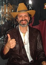
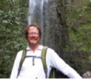
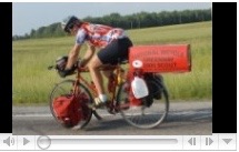
Cayo Krieg
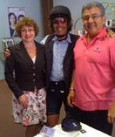
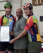
2017 Mayors' Ride
since 2002
Micro Schedule | NBG Sponsors | News
Santa Cruz - San Jose | Palo Alto - San Francisco | Berkeley-Oakland | Davis | Sacramento - Folsom | Reno
Salt Lake City | Boulder - Denver | Omaha | Des Moines | Chicago | Indianapolis | Cincinnati
Columbus | Pittsburgh | Mount Rainer, MD - Washington DC
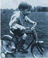
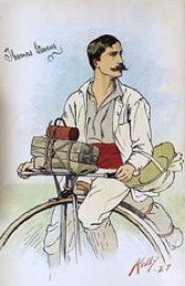
The first person to use a private machine to connect the American coasts to one another did so on a bicycle. The year was 1884. The man’s name was Thomas Stevens. He began his 104 day journey from San Francisco using the Transcontinental Railroad right of way that was completed in 1869. He went on to circumnavigate the globe but back then just biking across America expanded the consciousness for what was possible
As cars then began to come about, their early promoters began to look for a national forum to showcase what their vehicles. could do. In 1912, when using the rough data they had accumulated, Carl Fisher and Henry Joy drew a red line on a map of the United States that connected New York City with San Francisco and called it the Lincoln Highway, it was laughed at and described by many as no more than a ‘line on a map connecting all the worst mudholes in the country’. Even in their wildest imaginings, there was no way these two men could have known the consequences of their action to create the very first coast to coast car route (see Lessons Learned from America’s First Coast-to-Coast Highway in Building the NBG ). Hardly could they have foreseen all the other roads it would spawn, all the automobiles it would engender, and, in the end, all the environmental depredation it would bring about.
Now that we have a red line at BikeRoute.com that connects San Francisco with the Nation’s capitol that we are calling the National Bicycle Greenway, we hope to reverse engineer the roads it uses, many from the Lincoln, with bike friendly infrastructure. In areas with bigger car volumes, for example, green asphalt, regularly emblazoned with the NBG logo will be set off from the vehicular right of way by regularly positioned bollards. Besides their different colored section of the road, these lanes will also be clearly marked with handsome and colorful, slightly oversize street signs. NBG green in color, the black print on them will regularly advise out of area travelers of distances to the various destinations along the way.
Less congested areas will be set off with route markers, protected bike lanes, traffic calming devices, neighborhood greenways and the bike infrastructure specific to each locale through which it passes. This while in wide open America, every 10 miles (the distance the average touring cyclist travels in an hour), a different set of signposts will appear. Also set in green with black print and set below the NBG logo, on them will appear this advisory for motorists "The Cyclists You See are Traveling on the National Bicycle Greenway".


Tom Ayres
Lori Yung
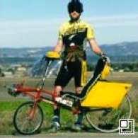
Eric Warp
Peter Stull
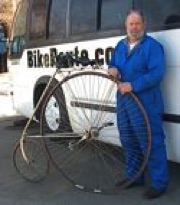
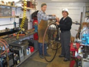
Tim Brummer
Rom Nhispo
Manny Garcia
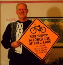
Don Armstrong
John Dohner
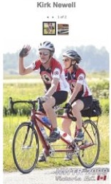
Kirk Newell
Shawn Raymond
Dierdre McMahon & Robert Martinez
Jeff & Jason Reser
John E
Don Loomis
Bill Leikam
Dale Clark
Dana St James, Gerry Gras Busycle hosts w/Virginia
Tom Schoeniger